Survey Company in Bangalore | Surveyor in Bangalore
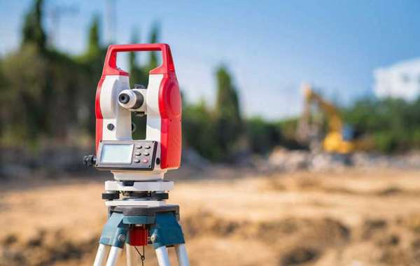
Infogeo property survey takes perfect measurements to identify the boundaries of a piece of land and prepares reports, maps, and plots that are used for construction or other legal documents. Infogeo property survey determines the perfect location of roads, buildings, and other features that are used to determine any changes to the property line, restrictions on what may be constructed on a property or where new structures must be located, how large structures may be, and the appropriate building depths for foundations.


